
In 58 BC Julius Caesar opened the 'Road of the Sun', the shortest route between the North Sea and Rome. This route was called 'Via Francigena' for the first time in 876 AD. The archbishop of Canterbury Sigeric wrote down the itinerary in 990 AD when he returned home from Rome. The road was used by merchants, armies and pilgrims. As a pilgrimage, this route fell out of fashion around the 17th century. In 1985 Via Francigena was retraced as described back in 990 AD by the archbishop.
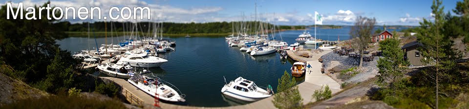
The route starts in Canterbury, England but we started from Grand Saint Bernhard in Switzerland. From there it's 1020km's to Rome, on this leg we walked 360km's. The next stages are planned for march and october of 2011.
The route starts in Canterbury, England but we started from Grand Saint Bernhard in Switzerland. From there it's 1020km's to Rome, on this leg we walked 360km's. The next stages are planned for march and october of 2011.

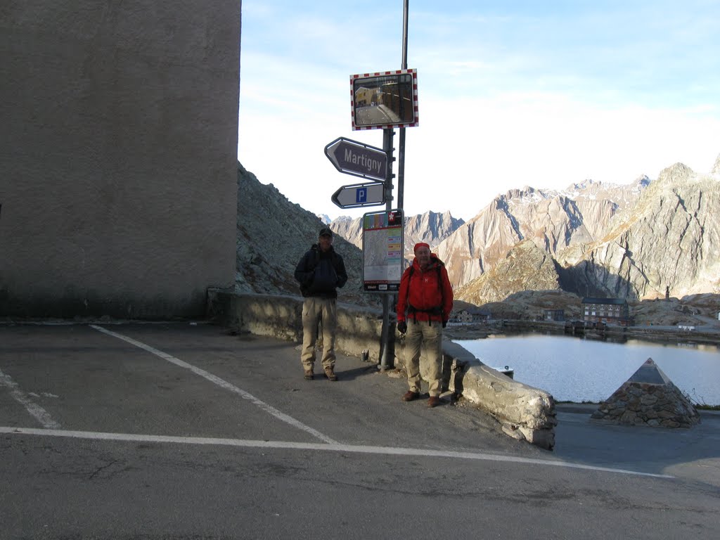
Hospice du Gran San Bernard is also a monastery and was founded in 1049.
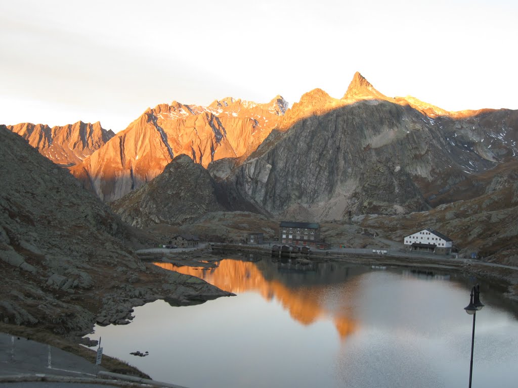
Col de Gran San Bernardo - the first sunbeams in the morning.
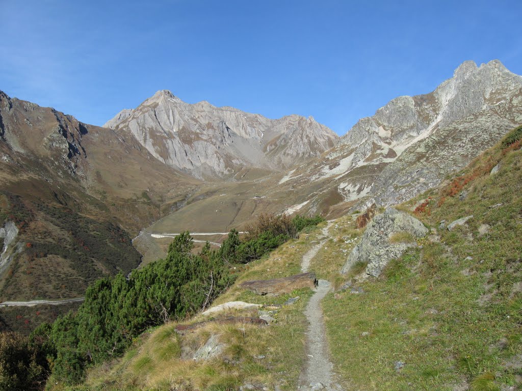
Here begins a new adventure, altitude 2.473 m
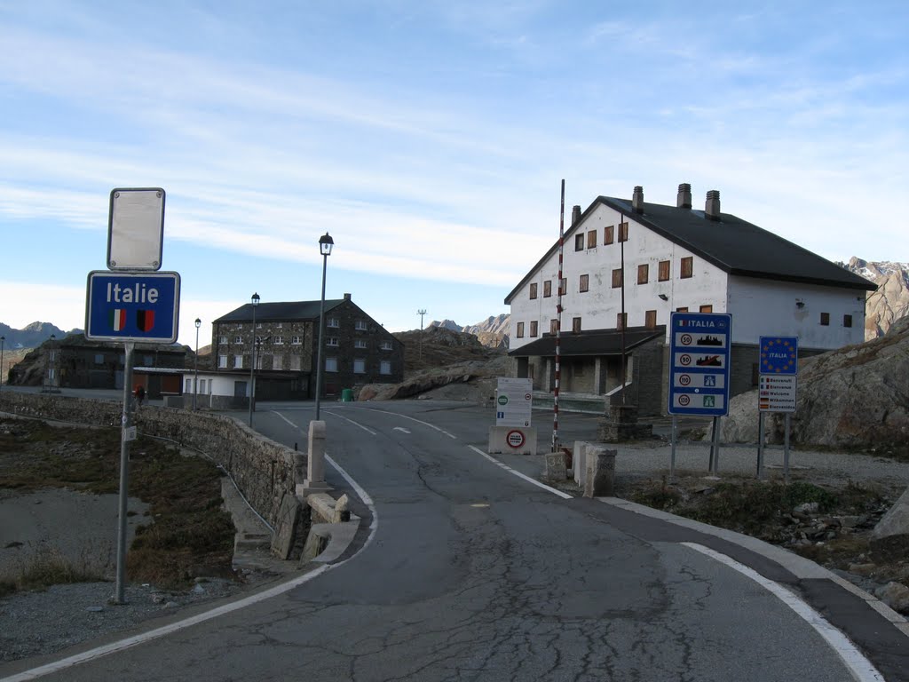
Entering Italy.

St Bernard watching people passing by.

Nazional SS27 climbing on the hillsides.

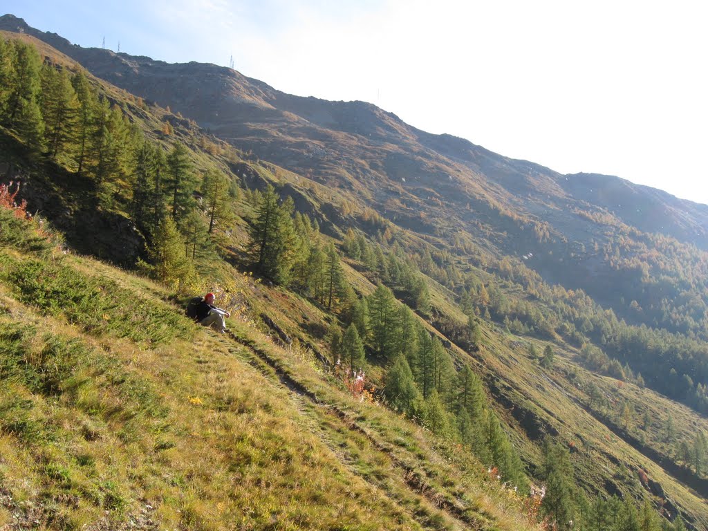
There are many paths in the Alps, our Via is nr 103.

High mountains - large shadows.
Napoleon with his army came to Italy throuh this pass in 1800.
Quite steep.
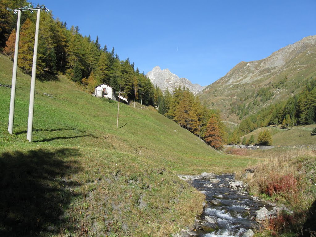
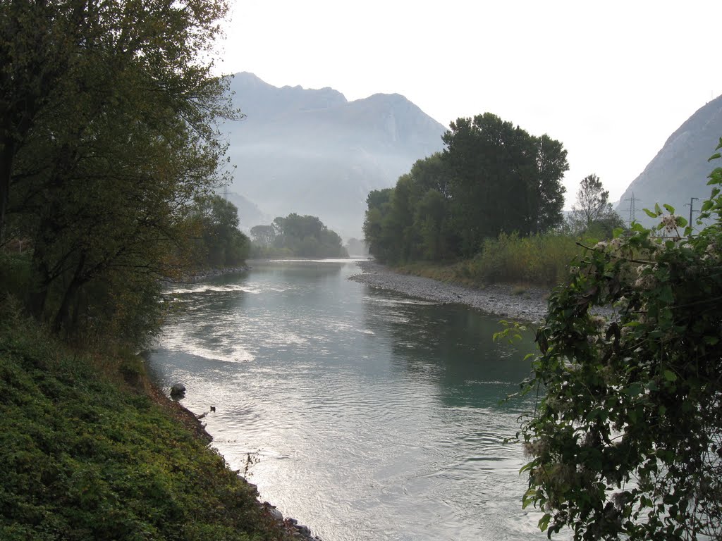
Fiume Artanavas.

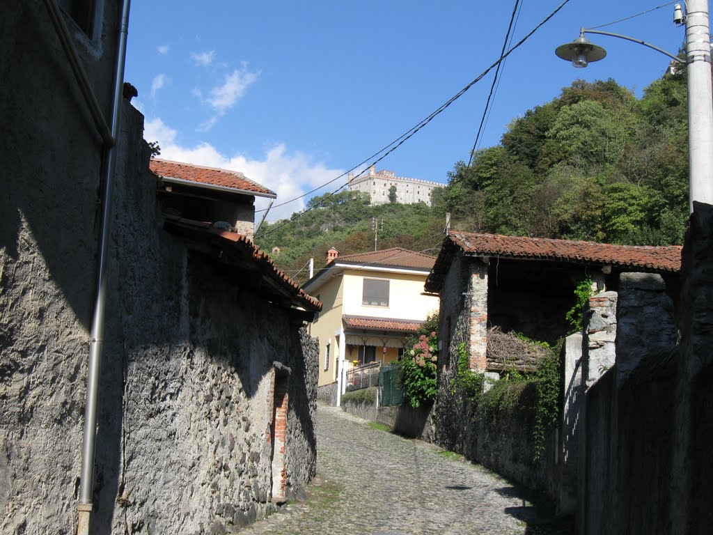
A pittoresque village.

'Ruska' in northern Italy.

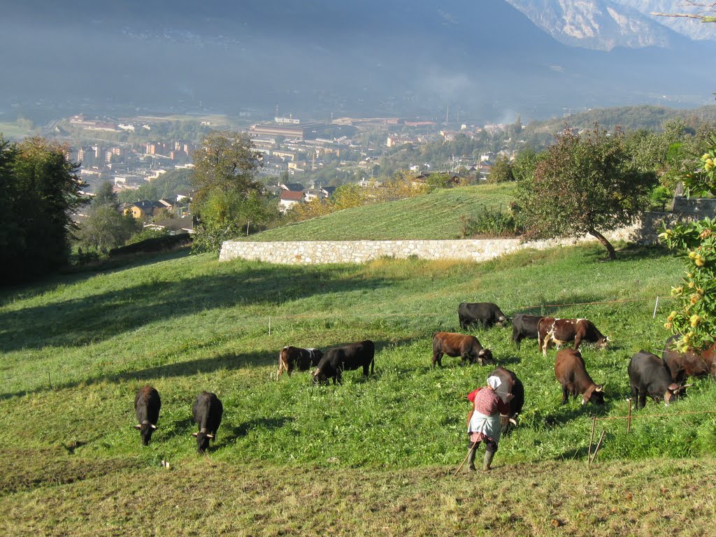
Lot of cows in Aosta valley.
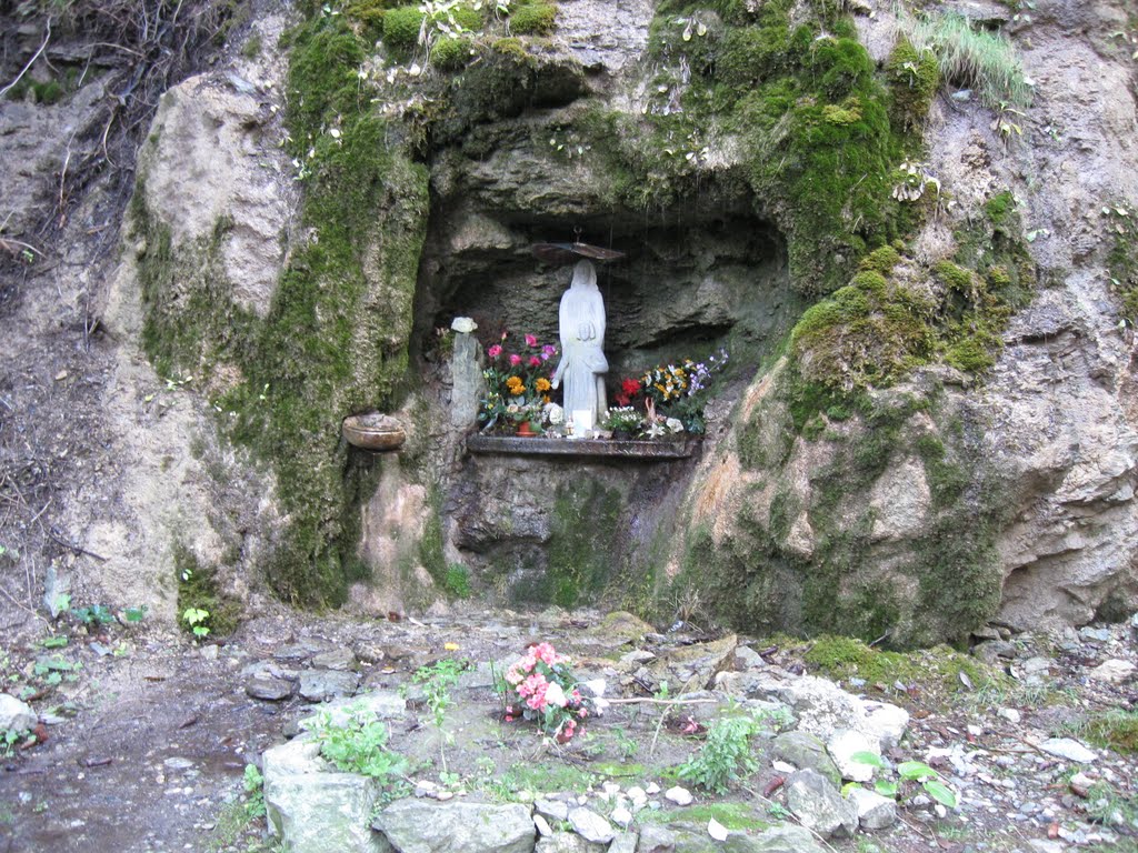
The cave "Je Te Salue".

Mighty sceneries in the valley.

No hurry - admire the sceneries.
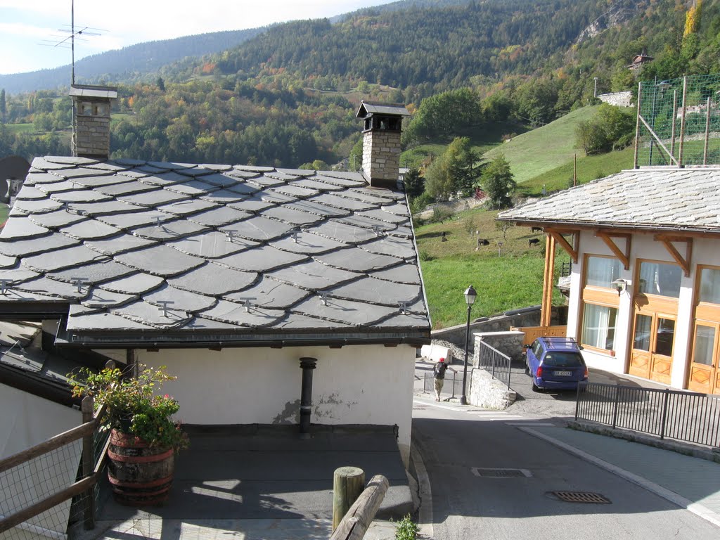
Roofs made of stone.
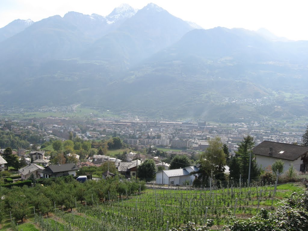
Aosta seen from the hillslope.
Leaving Aosta behind us in the morning.
Rue Roma beneath (nazional SS26).
The shepherd was knitting.

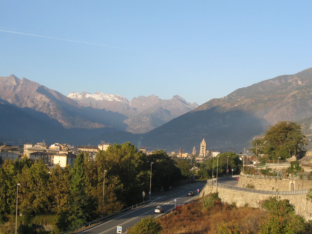
Aosta seen from the southeast.
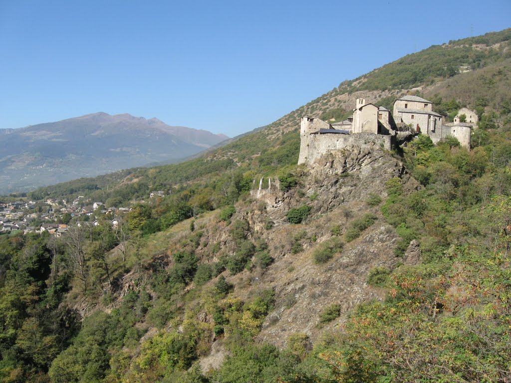
Aosta valley is a very strategic place, hence the many fortresses.

The air was hazy in the mornings.
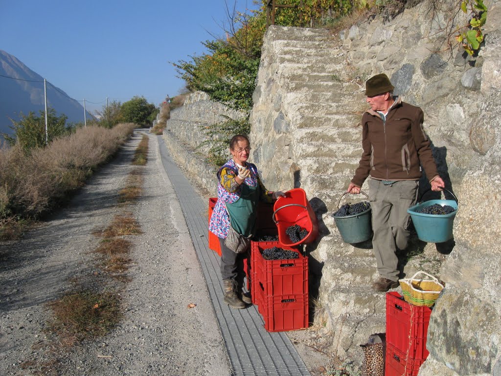
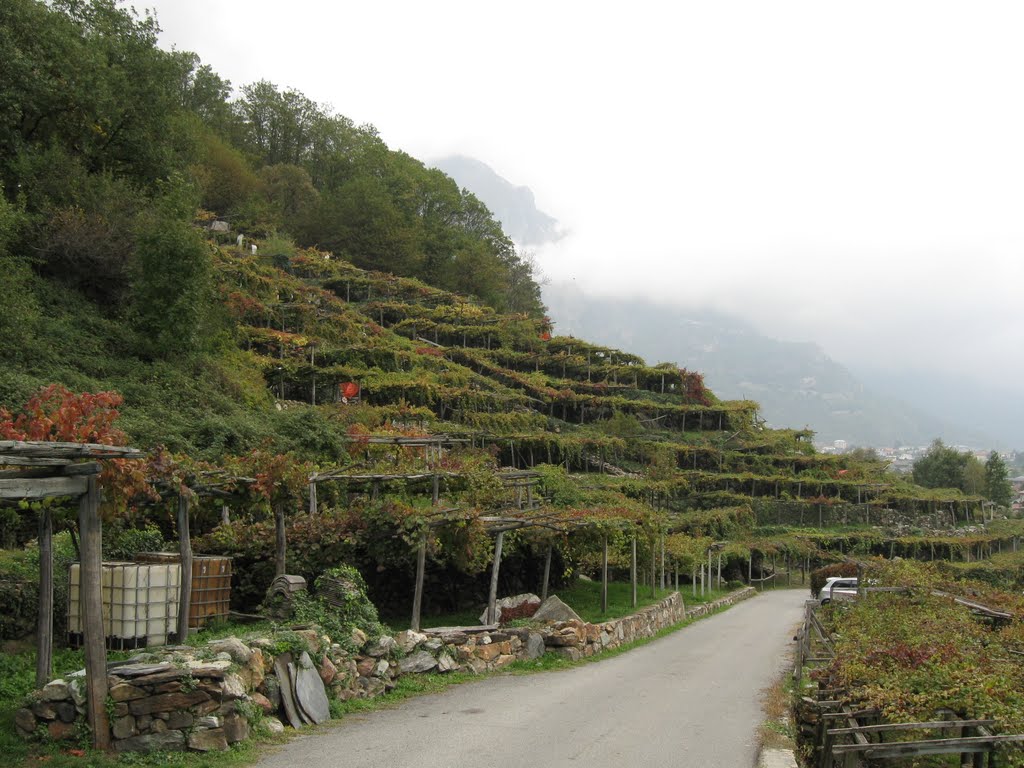
October - time to harvest grapes.

An old abandoned village.
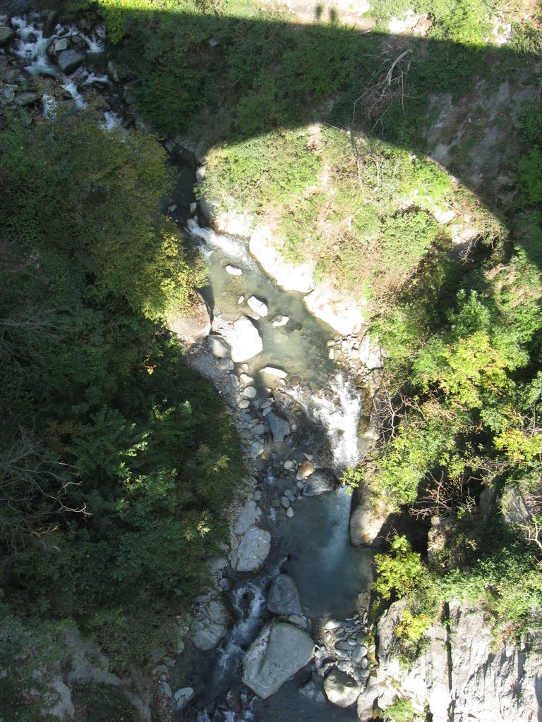
Down to the river at least 100 m.

Montjovet castle and the pass.
Dora Baltea.

Wine press.

Modern stone houses.

Time for a break in Arnad.

The medieval bridge of Echallod.
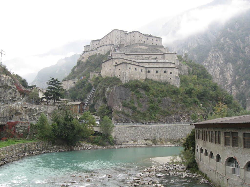
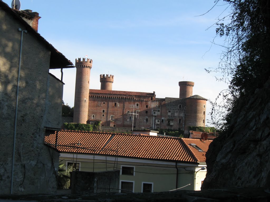
The castle of Bard.
Strada Reale dei Vini Torinesi.

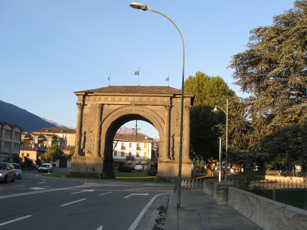
Ponte Romano.

We are now in Piemonte (at the foot of the mountains).
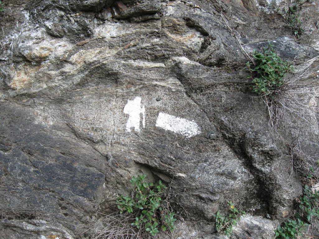
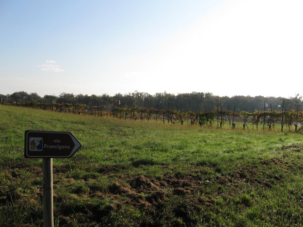
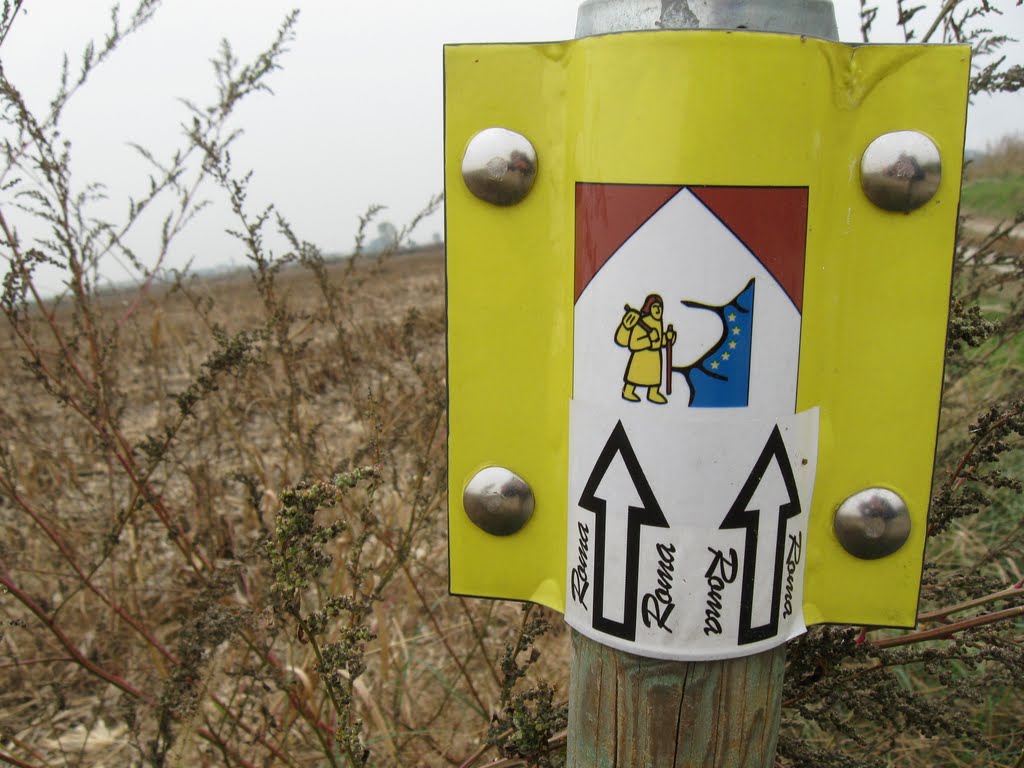
Via Francigena sign.

All roads lead to Rome (Omnes viae Romam perducunt, in Latin).
No moving parts.

Attenti cani!
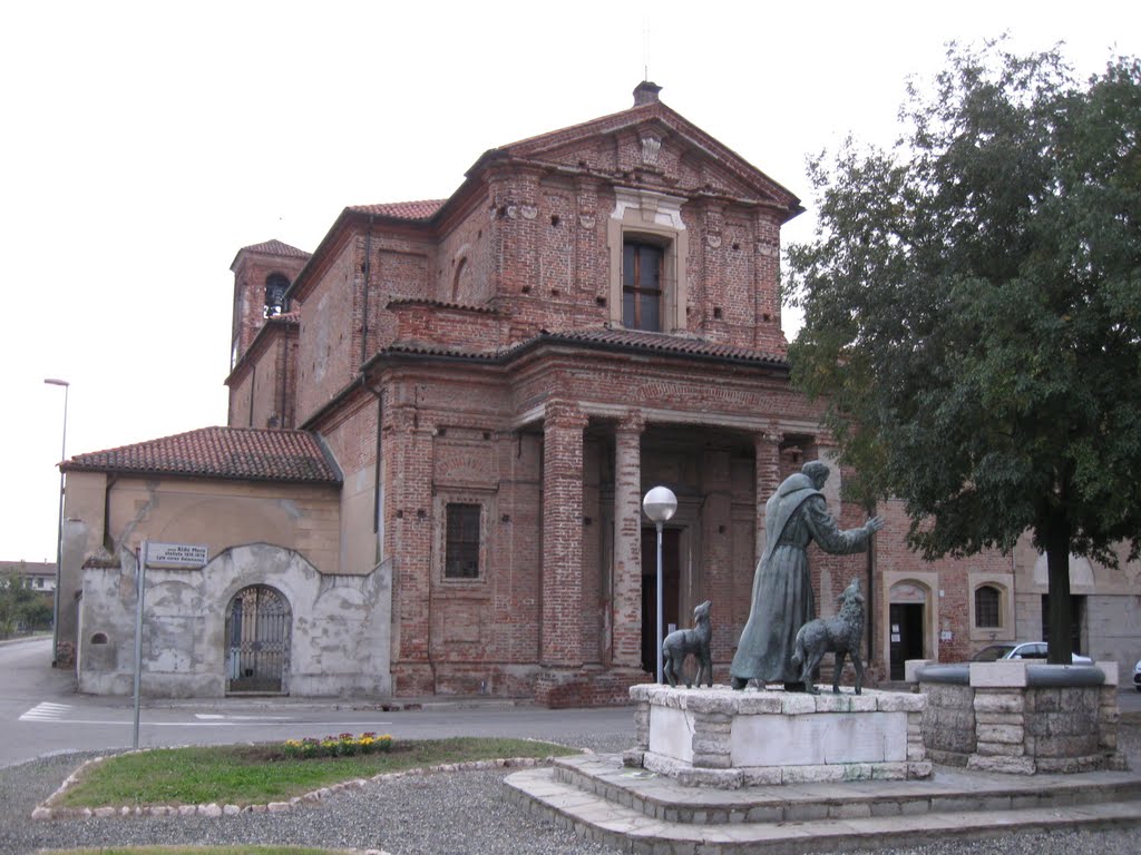
The town and the castle are from the middle ages.
In this small church we listened to music, afterwards we got candy as reward from the organist.
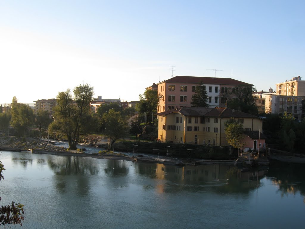
The castle in Ivrea.
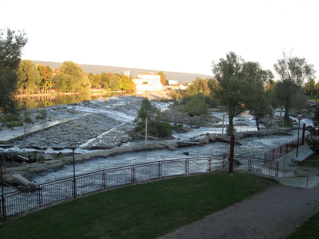
The manmade rapids outside of the Ivrea Canoa Club.

Parents bring their children to school. Note the flags.
The clubhouse of the Canoa Club.
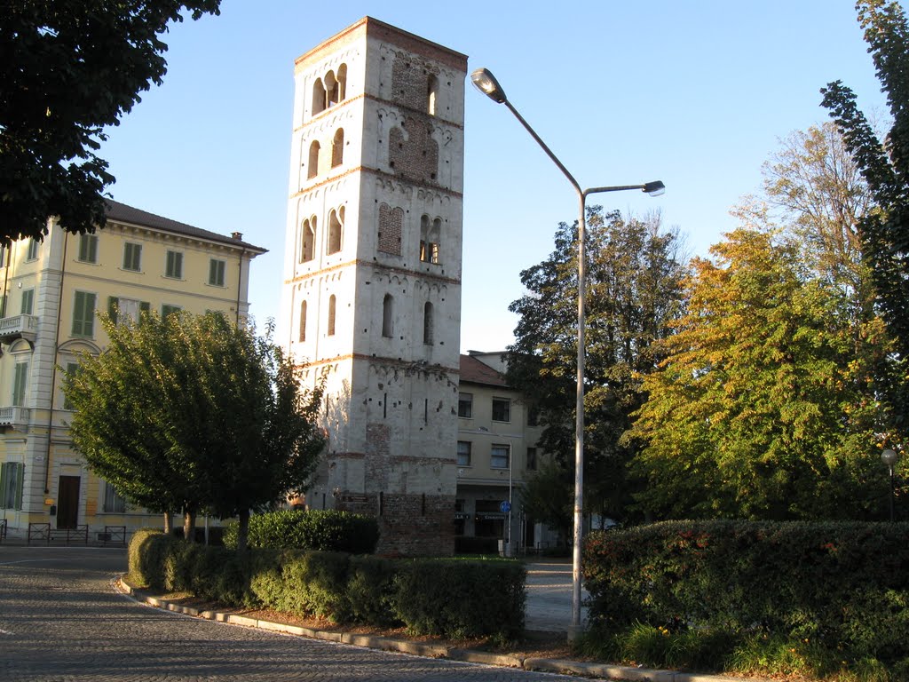
Belltower of Santo Stefano (a benedictine abbey was founded here in 1044 and demolished in the mid 16th century).
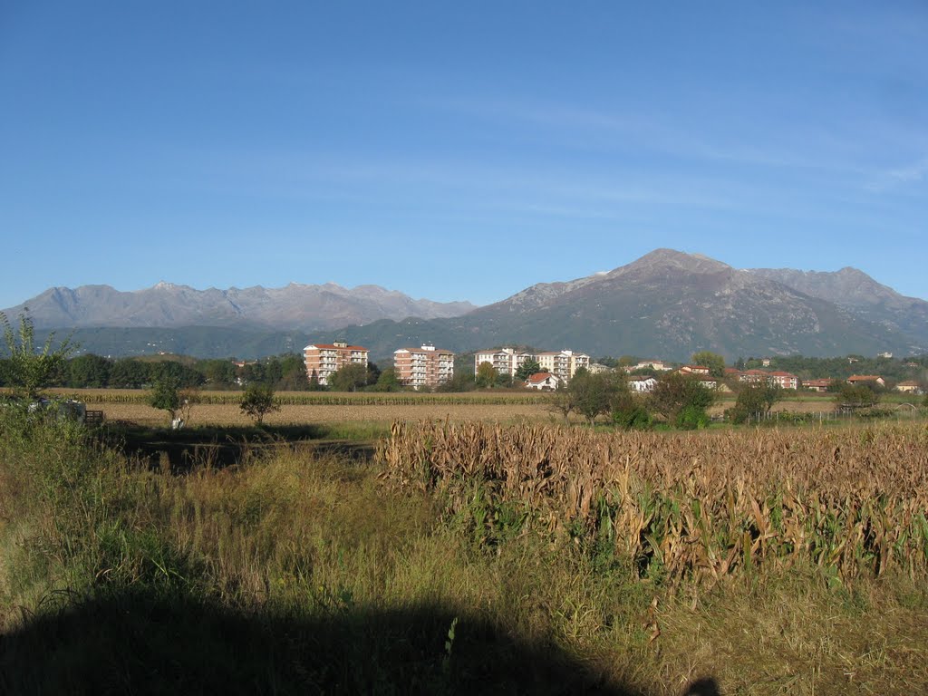
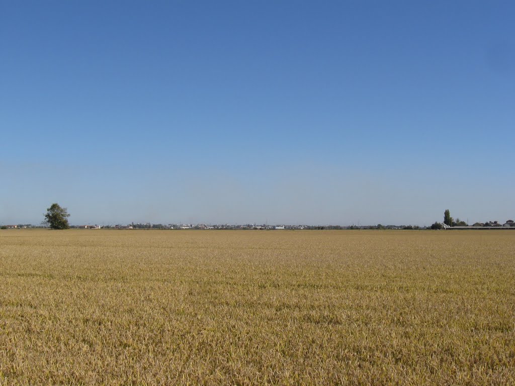
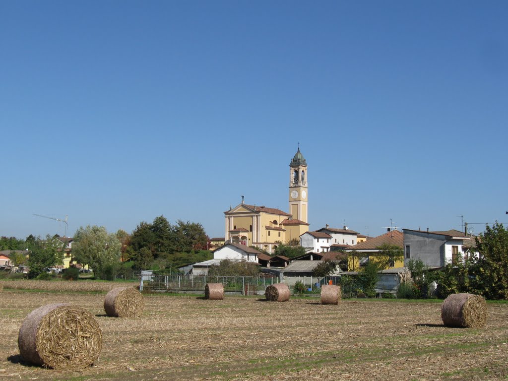
Now the large cultivated fields begin.
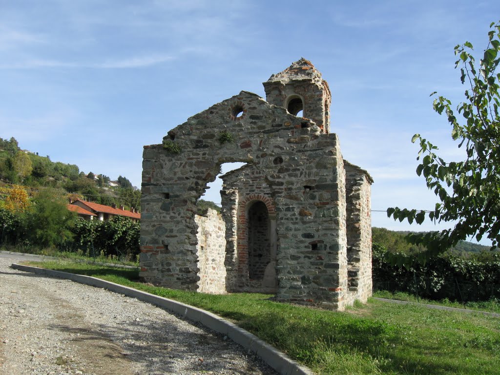
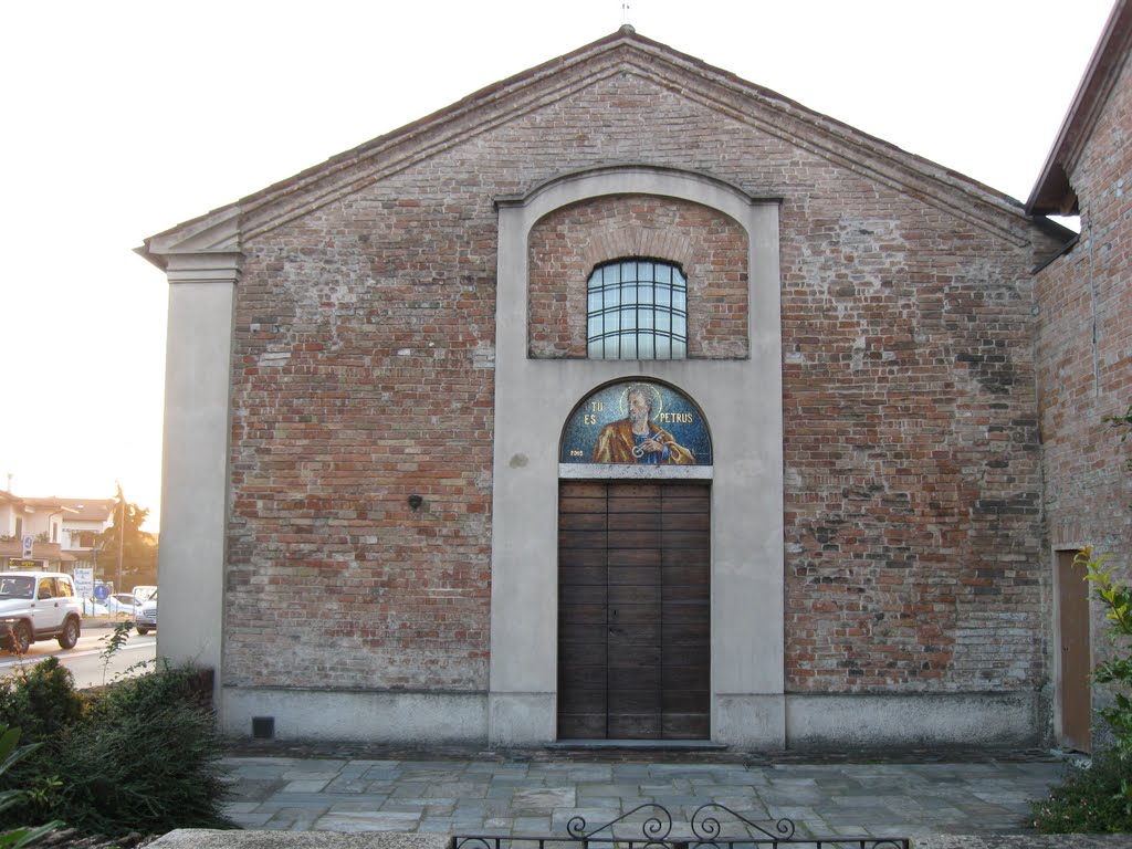
Ciesa de San Pietro (11th century).

Another wine press.

Church interior.

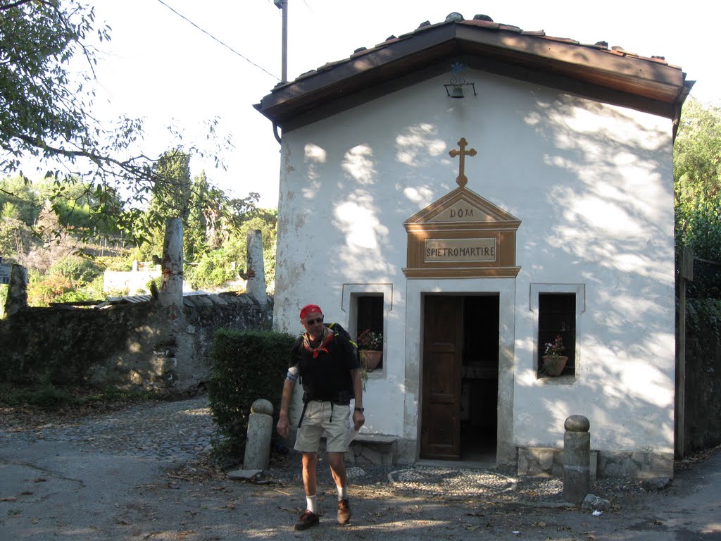
The door to our home this night.
Road sign.

A living traffic light.

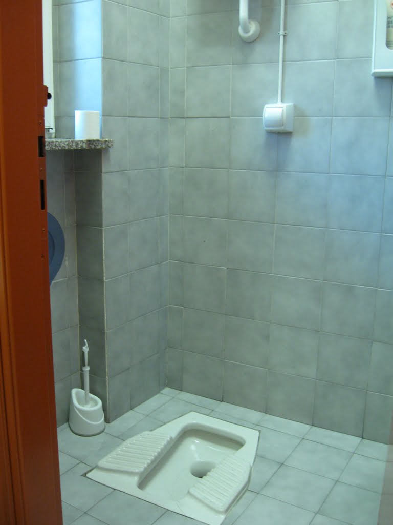
You can find anything...

...in this marketplace.

Canale Cavour.
Vercelli on the horizon.
Our 'hotel' in Vercelli.

Our albergo in the policestation.
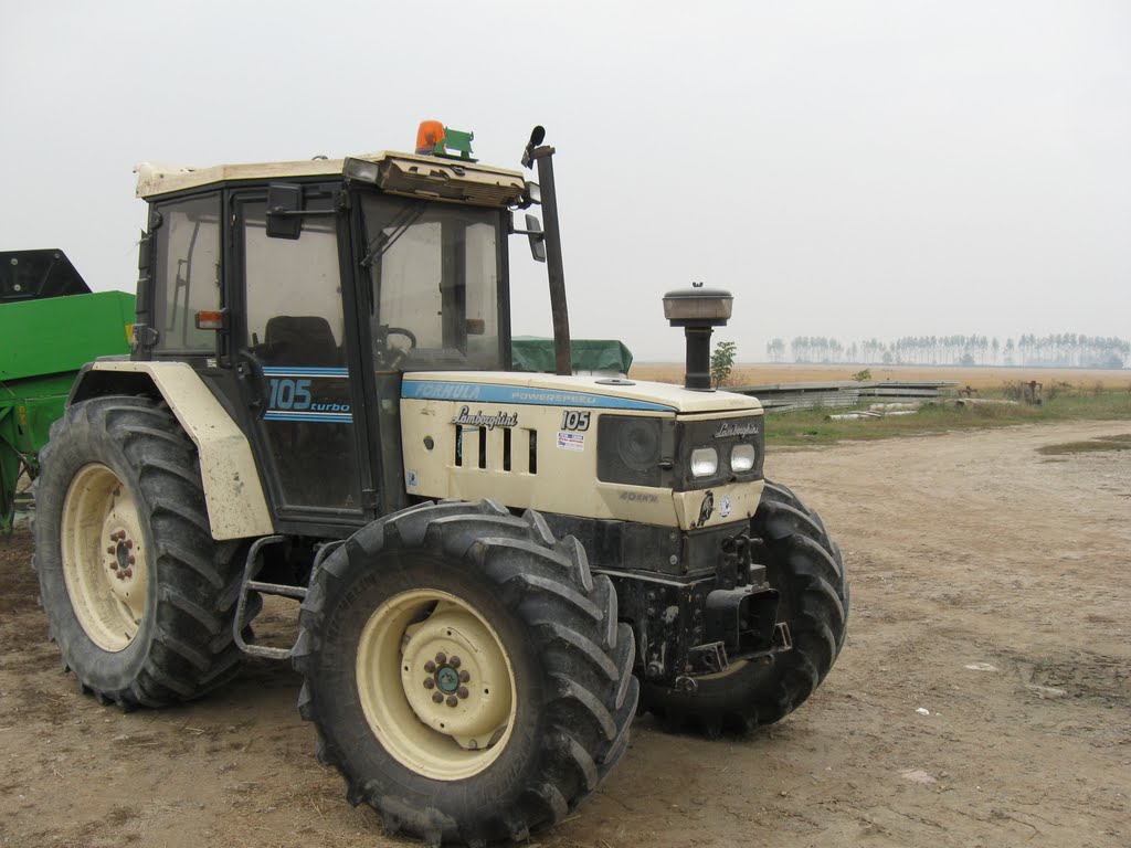
The fastest tractor in Italy.
No tarffic on our Via.
Yet another Road sign.
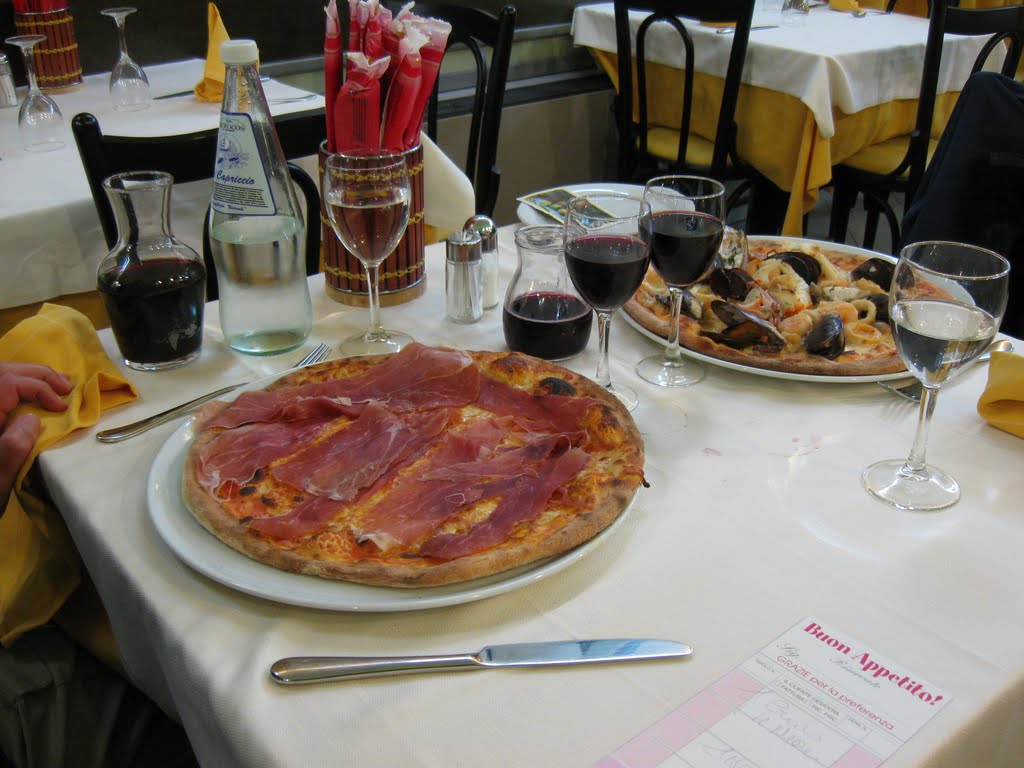
The first pizzas on our Via.

The first and last rainy day.
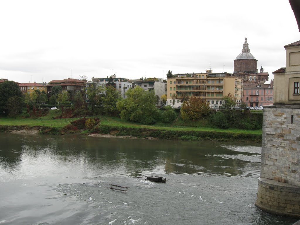
Fiume Ticino with Duomo di Pavia in the background.

The result of yesterdays rain.
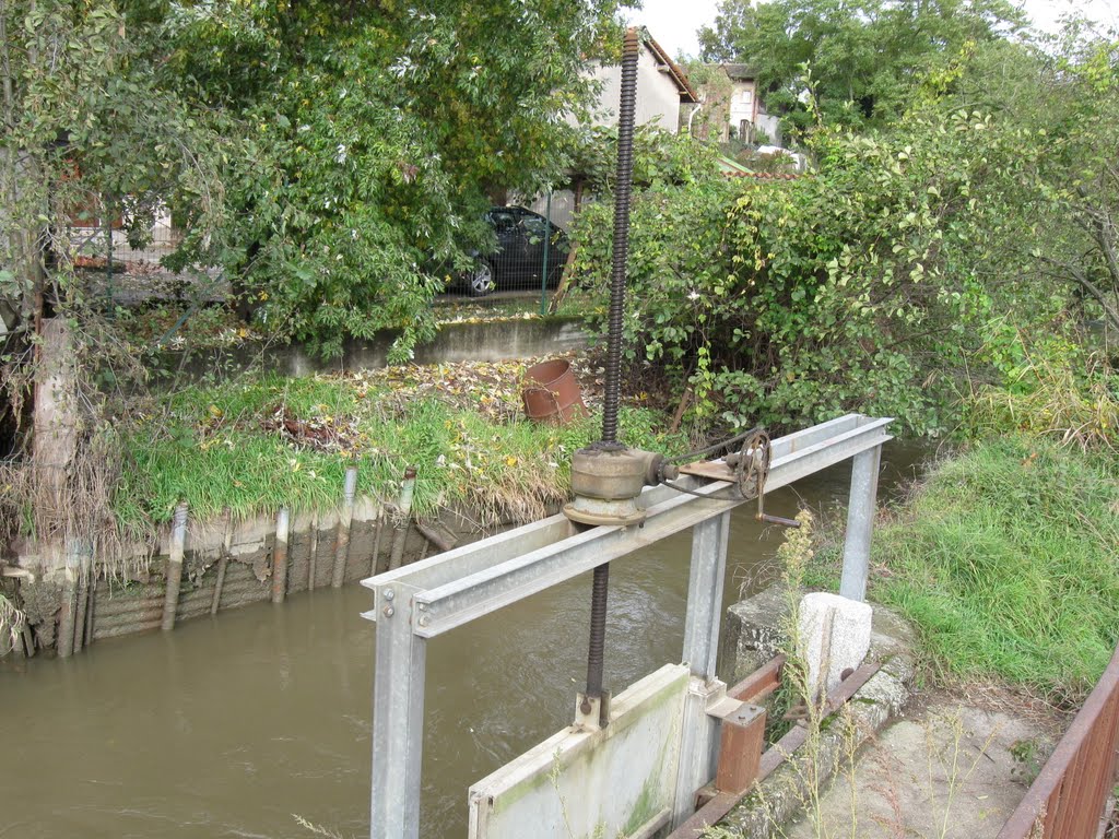
A peculiar contraption.

It's been a cold night.
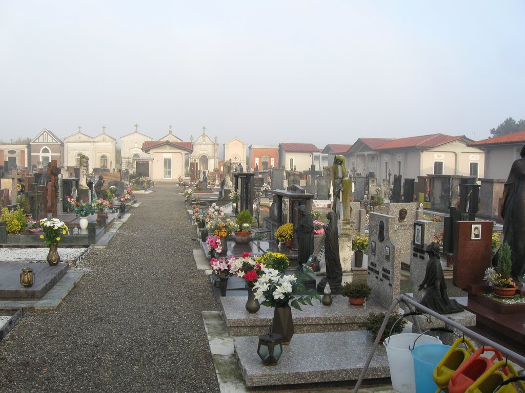
A beautiful and peaceful 'cemitario'.
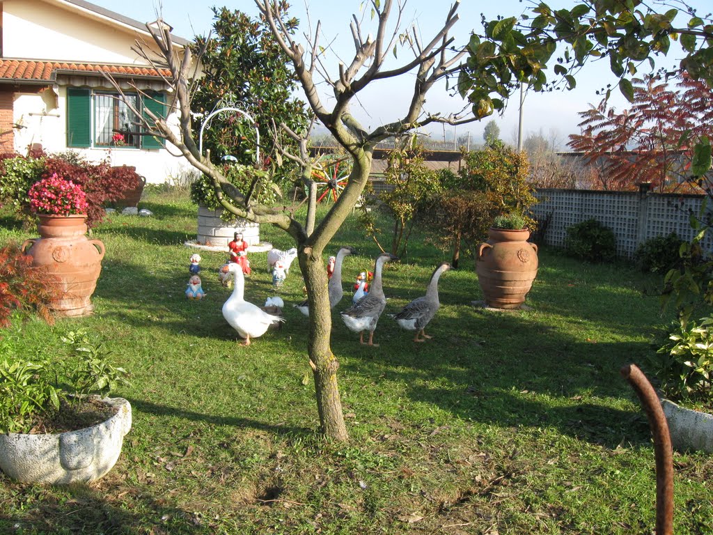
No dogs but geese.

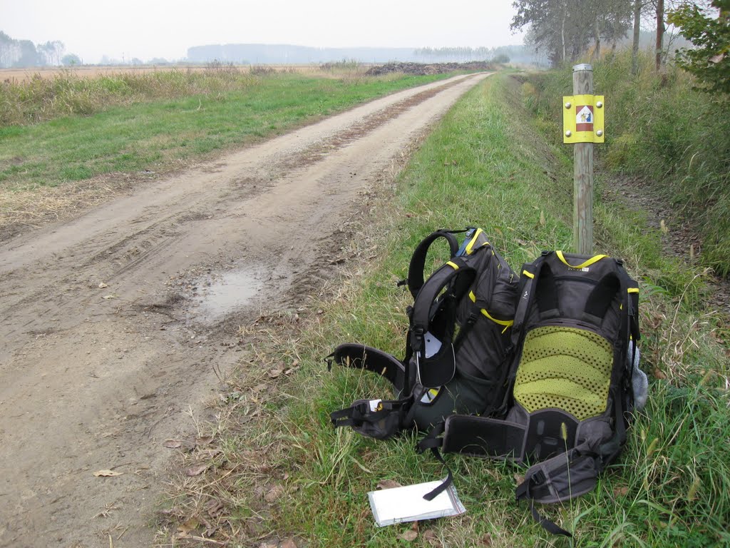
Pellegrinos resting.
Not a cloud.

Due pellegrini e mayor Pier Luigi Cappelletti in Orio Litta.
Note the handles.

We are not in China.
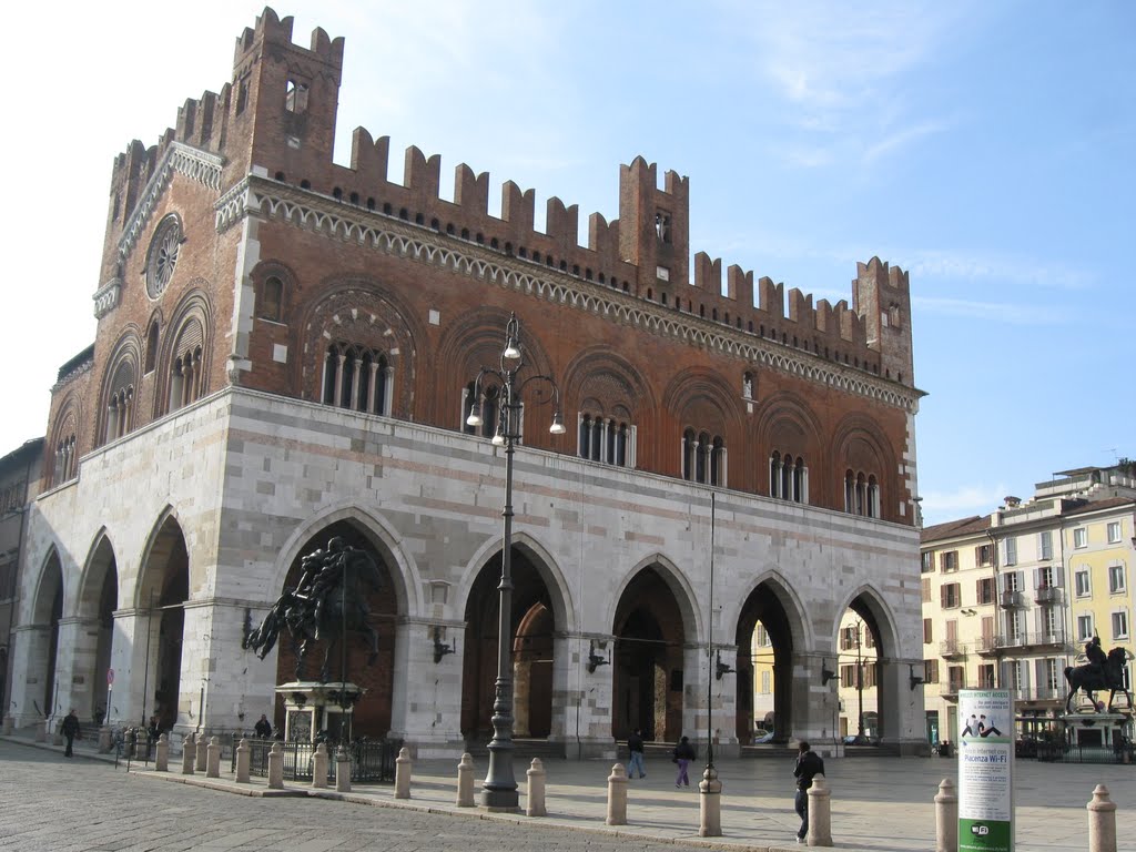
Municipio in Piacenza.

Via Roma and R & R.
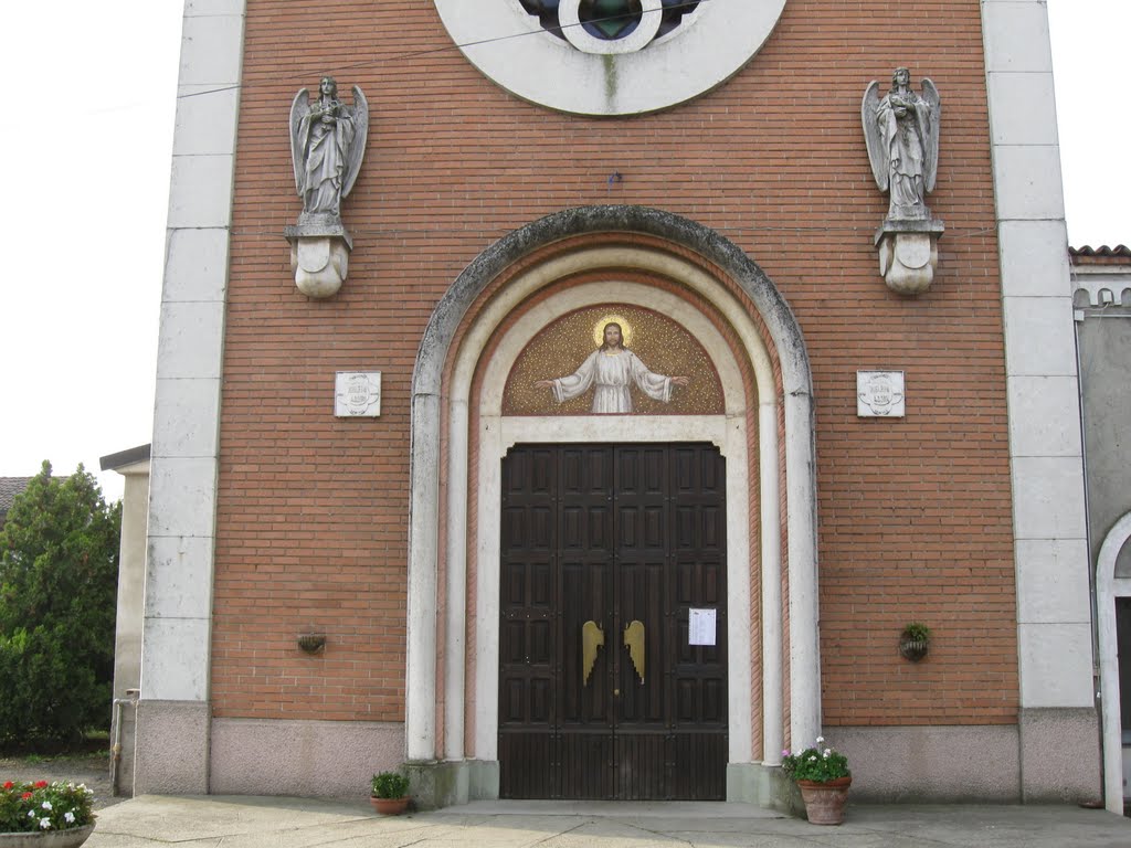
Our Ostello, Ciesa San Pietro.

This part of Italy is full of small rivers.
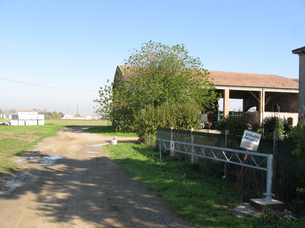
Everything but roads are "privata" in Italy.

Churchtowers act as lighthouses in Piemonte.

Torrente Arda not flooded this time of the year.

Our first part of Via Francigena ended here.
No comments:
Post a Comment